With a view like this I didn't want to leave Finger Mountain but lunch was waiting for me in Coldfoot. Reluctantly I left the area and continued north towards Coldfoot.

The vistas just go on forever, the road following a sinuous path through the green mountains. The road at this point wasn't bad, good packed gravel and sand, the kind of road I really enjoy. I was able to maintain a decent pace, I was also surprised I hadn't seen any animals on or off the road. We crossed paths with a few trucks but nothing else was on the road.


A few miles up the road we see the sign for the famous Arctic Circle stop. This is a place I had seen in countless pictures from other riders and was one of my most anticipated landmarks to reach. I pull in and there's not one soul there, just a sign and a platform for you to admire the scenery. I was so happy I let out a loud scream in my helmet, finally I could take a photo in front of the famous sign with no one around.
The Arctic Circle is one of the five major circles of latitude that mark maps of the Earth. It is the parallel of latitude that runs 66° 33′ 44" north of the Equator.
The Arctic Circle is the southernmost latitude in the Northern Hemisphere at which the sun can remain continuously above or below the horizon for 24 hours (at the June solstice and December solstice respectively). Wiki
Look at my smile

This was the culmination of a dream and a very long ride to get here. What better way to show you are on top of the world then to actually be on top? I asked Dave to get the camera ready and proceeded to climb the sign. The sign is pretty high as you can see on the above picture and I'm not a young kid, but that wasn't going to stop me from trying. I climbed the sign and Dave snapped the picture, this photo is now the background of my work computer and the header on my Google+ profile.

The empty area around the sign, just the two of us and complete silence but this complete silence wouldn't last long, we are about to leave when we hear a car coming up the road blowing the horn like crazy. We wait for them to show up.

A few minutes later a car pulls into the area and comes to a screeching stop in front of the sign, four guys jump out of the car hollering and waving flags. I had already put the camera away and didn't capture their initial reaction but these guys were happy and talking loudly in Spanish. The car was familiar to me because I had seen this type of Renault in South Africa but not in the US. I look at the number plate and in disbelief I mutter "Argentina? is it possible?"

In broken English they explain to me they rode the Renault all the way from Argentina and are on the way to Deadhorse just like me. I could hardly believe this old car had made it all the way from the other side of the continent, the very bottom of South America, but here it was in front of us having traveled all the way from Santa Fe, Argentina.


I take pictures of the four of them in front of the sign, with the car, without the car, individually, hey, I'm a photographer, I like to help my fellow adventurers. After a while we are ready to leave again when we hear another vehicle approaching, we decide to wait.


Again we are about to leave when this time we hear bikes coming up the road, the roar telling me it was probably a twin, probably a KTM and soon I was proved right. Two KTM's pull into the area and the riders quickly dismount. We go over to chat, they are two Polish friends from the Chicago area. We needed to continue our trip, they are heading in the same direction as us, we say goodbye and leave them there chatting to the other people. I would cross paths with these two guys again later on the way up, down and then in Fairbanks but I will leave the details for later, let's just say we had fun.

The scenery is pretty much the same but around every corner and over every hill we find beautiful landscapes that go on forever. The pipeline winding itself close to the road at all times.

The road is now paved again, who knew that after all the gravel and sand we would fing a stretch of paved road. We stop a few times for pictures, the vistas just kept getting better.


I find a spot where the pipeline is right next to the road with a small access road, I pull in and decide to explore the pipeline. In some areas the pipeline actually goes into the ground to cross the road to the other side. This gave me the opportunity to get a photo of me on top of the pipe.


I did see the sign but I'm a rebel, I didn't ride almost 5000 miles not to have a photo standing on the pipeline.

The Trans-Alaska Pipeline System (TAPS) includes the trans-Alaska crude-oil pipeline, 12 pump stations, several hundred miles of feeder pipelines, and the Valdez Marine Terminal. TAPS is one of the world's largest pipeline systems. It is commonly called the Alaska pipeline or trans-Alaska pipeline. WikiAll along the pipeline you see these heat pipes that conduct heat from the oil to the fins at the top of the pipes in order to avoid thawing the permafrost. I'm standing under one for you to judge their size.


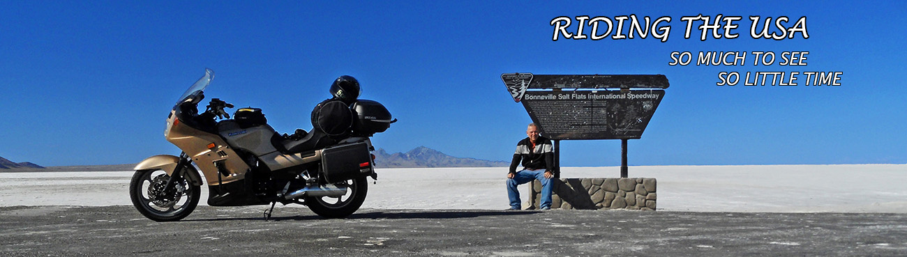
About 55 miles north of the Arctic Circle and with the last few miles in the rain, we make it to Coldfoot. The town is basically a truck stop on the Dalton Highway for truckers to refuel and grab lunch. The population was 10 at the 2010 census. North of Coldfoot, there are no services for 240 miles (400 km), until Deadhorse. The area near the restaurant is pretty large so trucks can navigate and turn around if necessary. It was extremely muddy and slippery, the rain and the trucks making a mess of the area. We park the bikes and head inside to grab lunch, a few other bikers and truck drivers are already there, we chat with them trying to get information on the road condition going north. I found everyone very friendly and willing to gives us information.

The town was originally a mining camp named Slate Creek, and around 1900 got its present name when prospectors going up the nearby Middle Fork Koyukuk River would get "cold feet" and turn around. In 1902 Coldfoot had two roadhouses, two stores, seven saloons, and a gambling house. A post office operated from 1902 to 1912, then reopened in 1984. Wiki

There are two pumps and the line is usually pretty long as you have to go inside and pay before they reset the pump for the next guy. Below is Dave in the back and the two KTM riders getting ready to refuel.


Coldfoot has a restaurant and a small number of overnight accommodations, converted pipeline construction camp quarters turned into a motel, the Slate Creek Inn. The location, halfway between Fairbanks and Prudhoe Bay, is an excellent way to spend the night for anyone travelling north. It's not cheap but nothing is in this part of the country, a Single/Double room is $199 per night. We decided to continue all the way to Prudhoe Bay, the sun doesn't disappear below the horizon this far north, we still had a lot of hours to ride.


My bike was a mess, I was a mess but with the a full belly and the tank topped off as well as my Rotopax tank with an extra gallon, just in case it was needed, we bid farewell to Coldfoot and continue north, next stop has to be Deadhorse, aka Prudhoe Bay, 240 miles away.

To be continued.....
It sounds as though you were pretty lucky to make it to the Arctic Circle sign with no others already there considering how many stopped by while you were there.
ReplyDeleteI really liked the picture of you on the sign as well as the ones of the roads stretching on seemingly forever.
Yea, we were lucky to be there alone for a while, great for pictures. Me standing on top of the sign is my favorite picture, I even have it on my Capital One credit card, the whole background of the card has that picture. The vista are amazing. Even if you just make it to the Arctic Circle, you have to plan that trip. You can easily do it on your bike.
DeleteAll the way to Prudhoe in one day, quite the distance with the mud. A common run up is Fairbanks to Wiseman, then Wiseman to Deadhoese and back to Wiseman, then back to Fairbanks. I'm told that the B&B in Wiseman is pretty nice. Especially when compared to Deadhorse or Coldfoot.
ReplyDeleteBeautiful photos!
You going to love my next blog entry,you will just have to wait to see what we did :-)
DeleteYea, we heard about Wiseman but decided to stop in Coldfoot because it's so well know. All the riders stop there.
The cooling pilings used on the pipeline are filled with ammonia gas. When the air temperature drops below the boiling point, 28F or 33C, it condenses the gas which runs down the inside of the piling. The permafrost in the ground would be warmer than that and boil the liquid ammonia back to a gas. This draws heat out of the permafrost. The goal is to keep the permafrost ground frozen so you would have a solid foundation.
ReplyDeleteI used to have a house with these for a foundation.
I forgot the minus signs. -28F and -33C.
DeleteThanks for the info. I figured you were talking about -28 and not 28 ;-)
DeleteDidn't know you could have a house with foundations like these. Is that to prevent the house from sinking?
If you build on permafrost, the foundation will be stable as long as the permafrost is kept frozen. This passive refrigeration system cools the permafrost whenever the air temperature is below -28F. If you build a structure directly on the ground, the warmth from the building will gradually work its way down and thaw the ground and sections of the building may sink into the mud.
Delete